The Great South Western Tour Return days 18-19
Posted: Mon Jun 23, 2014 4:34 am
It was time to head back to TN. We had a lot of weather challenges to deal with since the persistent southerly flow out of the Gulf was churning up some really nasty storms.
http://www.gcmap.com/mapui?P=KAEG-KDUX-KGCM-KUCY-KGCY
Maps generated by the Great Circle Mapper - copyright © Karl L. Swartz
I saw some gaps in the overall picture and knew we had to push as far as we could on the first day. Claremore, OK would be the first overnight stop with a fuel stop in Dumas, TX.
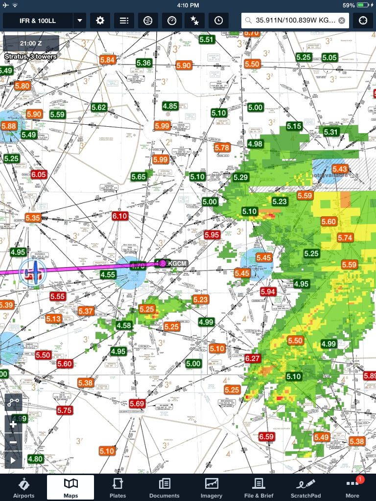
Things worked out perfectly. We could have gotten a few more miles, but I knew KGCM had 3 courtesy cars and would let them out overnight. So we popped in there right at closing time. Paid a $30 charge for the overnight use of the car and had some great BBQ in Claremore.
Rolled everyone out of bed early the next day. If we didn't get out quick we would be touring Claremore for a few days.
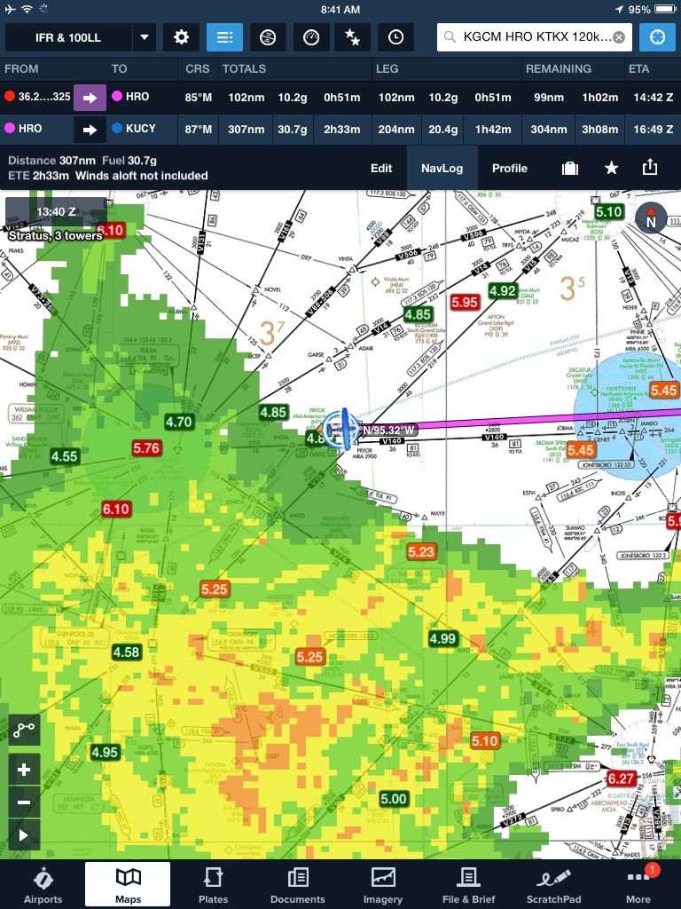
Got out of town just in time and steamed along IMC for a few hours to KUCY, Union City, TN
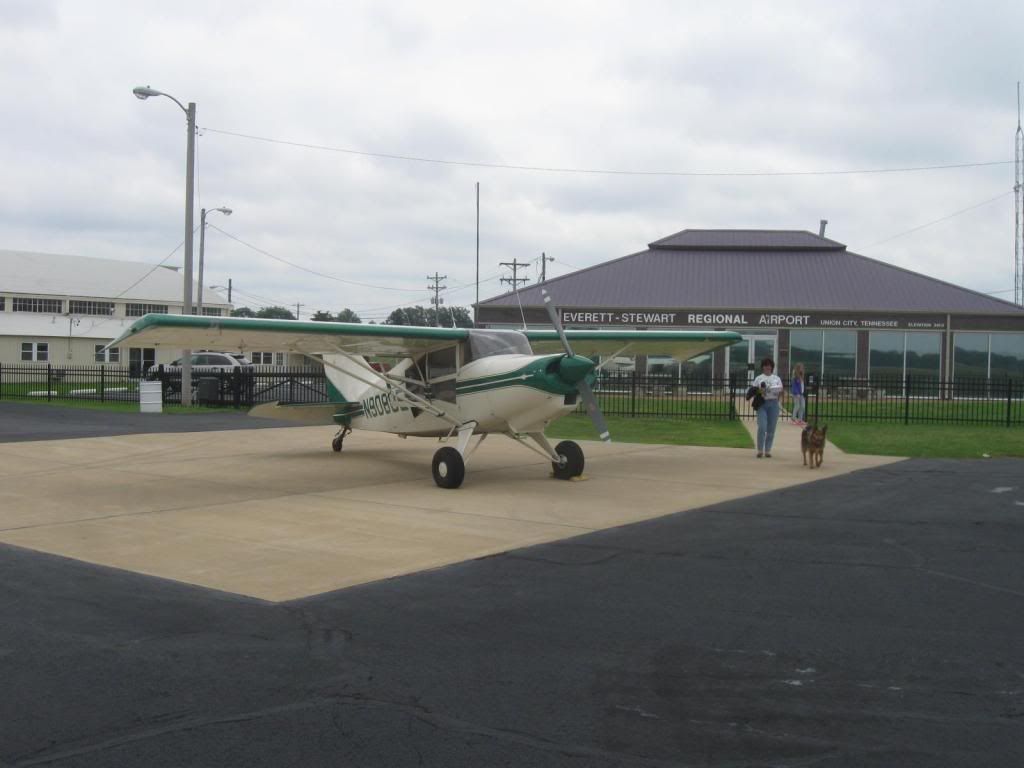
Got rock star parking at the FBO at Union City. What a great FBO! They fueled it for me, despite using the 'self fuel'. Told me to park it up front while we had our snacks, offered a crew car several times.
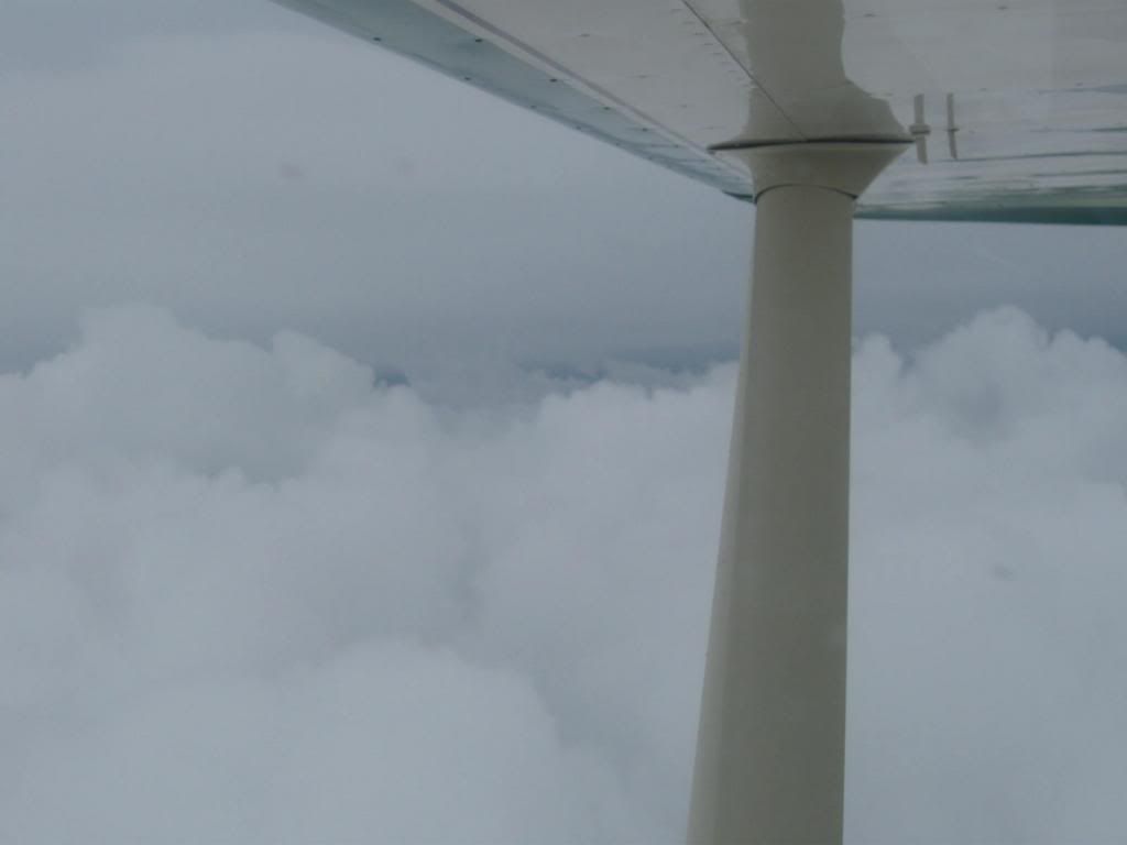
They had so much rain over the preceding several weeks that all the crop dusters were sitting on the ground. Shot the ILS in and broke out at 500' to find a lot of flooding in the area.
The last leg, KUCY-KGCY, we scooted along just north of the weather which had stalled along the mountains. All cloud and rain off the right wing for the last 2.4 hours of our adventure.
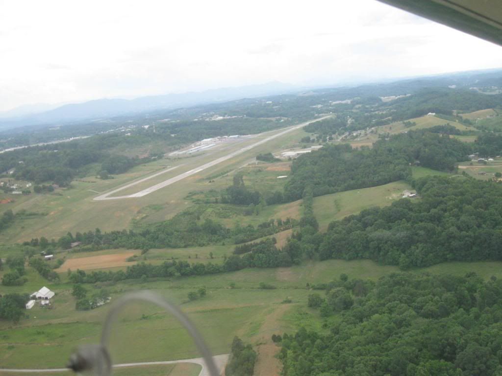
Finally home, base leg to KGCY. What a great adventure it was. Covered 3556 nautical miles and blocked 36.4 hours. 88E performed flawlessly throughout the whole trip.
This was truly the best airplane vacation we've had yet. For days we've just been grinning at each other and saying; "Whoa, was that great!"
Here's the map of the whole route:
http://www.gcmap.com/mapui?P=kgcy-3M5-4 ... 120&SU=kts
Maps generated by the Great Circle Mapper - copyright © Karl L. Swartz
http://www.gcmap.com/mapui?P=KAEG-KDUX-KGCM-KUCY-KGCY
Maps generated by the Great Circle Mapper - copyright © Karl L. Swartz
I saw some gaps in the overall picture and knew we had to push as far as we could on the first day. Claremore, OK would be the first overnight stop with a fuel stop in Dumas, TX.

Things worked out perfectly. We could have gotten a few more miles, but I knew KGCM had 3 courtesy cars and would let them out overnight. So we popped in there right at closing time. Paid a $30 charge for the overnight use of the car and had some great BBQ in Claremore.
Rolled everyone out of bed early the next day. If we didn't get out quick we would be touring Claremore for a few days.

Got out of town just in time and steamed along IMC for a few hours to KUCY, Union City, TN

Got rock star parking at the FBO at Union City. What a great FBO! They fueled it for me, despite using the 'self fuel'. Told me to park it up front while we had our snacks, offered a crew car several times.
They had so much rain over the preceding several weeks that all the crop dusters were sitting on the ground. Shot the ILS in and broke out at 500' to find a lot of flooding in the area.

The last leg, KUCY-KGCY, we scooted along just north of the weather which had stalled along the mountains. All cloud and rain off the right wing for the last 2.4 hours of our adventure.

Finally home, base leg to KGCY. What a great adventure it was. Covered 3556 nautical miles and blocked 36.4 hours. 88E performed flawlessly throughout the whole trip.
This was truly the best airplane vacation we've had yet. For days we've just been grinning at each other and saying; "Whoa, was that great!"
Here's the map of the whole route:
http://www.gcmap.com/mapui?P=kgcy-3M5-4 ... 120&SU=kts
Maps generated by the Great Circle Mapper - copyright © Karl L. Swartz

